
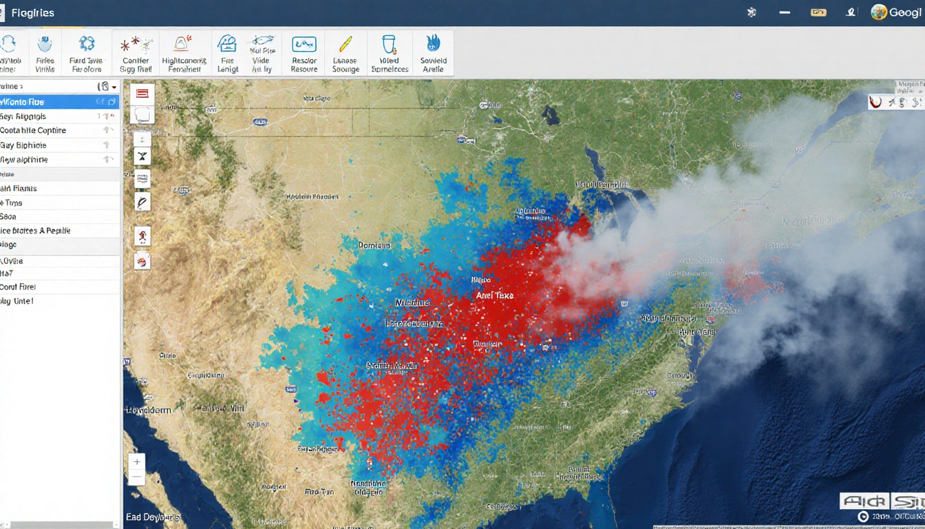
As of early 2025, more than 11,000 acres have burned in Central Texas wildfires, with 43 separate fires documented across 15 counties, according to the Texas A&M Forest Service. KXAN has been tracking each incident, providing a live map and database that updates as new information arrives. Fires that remain uncontained are highlighted in red on the map.
Fire Statistics
The Texas A&M Forest Service reports that the 43 fires have consumed a total of 11,938.3 acres within the KXAN viewing area. This figure represents the largest area burned in the region for the year so far. The average size of each fire is roughly 277 acres.
The fires vary widely in size, from small brush blazes to large conflagrations that have spread across multiple counties. A table ranking all fires from largest to smallest is available on the KXAN website, allowing residents to see which incidents are most extensive. The ranking helps prioritize resource allocation and public safety efforts.
Tracking and Resources
KXAN maintains an interactive map that displays every active wildfire in Central Texas. Uncontained fires are marked in red, while contained or controlled fires appear in other colors. The map updates in real time as new data from the Forest Service becomes available.
In addition to the map, KXAN provides a database that lists each fire’s name, location, acreage burned, and containment status. The database is searchable by county, allowing users to focus on the areas most affected. KXAN promises to keep the information current as new incidents arise.
County Burn Bans
The agency also tracks which counties have burn bans in effect. A link on the KXAN website offers the latest updates on burn restrictions, helping residents plan outdoor activities safely. Burn bans are typically imposed when weather conditions increase the risk of wildfire spread.
Historical Context
For those interested in past activity, KXAN provides wildfire maps for 2023 and 2024. Comparing the current year’s data with previous years can highlight trends in fire frequency and size. This historical perspective assists emergency managers and the public in understanding long-term patterns.
Key Takeaways
- More than 11,000 acres burned in Central Texas wildfires as of early 2025.
- 43 fires have been documented, totaling 11,938.3 acres in the 15-county KXAN viewing area.
- KXAN’s live map and database provide real-time updates and rank fires from largest to smallest.
With the region still experiencing active fires, residents are encouraged to consult KXAN’s map and burn-ban updates for the most current information. The ongoing efforts by the Texas A&M Forest Service and KXAN aim to keep the public informed and help mitigate the impact of these widespread blazes.