
At a Glance
- A powerful winter storm slams Midwest and South with snow, ice, rain and strong winds.
- Snow totals could top a foot in the Great Lakes; waves up to 25 ft on Lake Superior.
- Wind chills as low as -30°F hit North Dakota and Minnesota.
- Why it matters: Travelers face blizzards, flight cancellations, and dangerous road conditions.
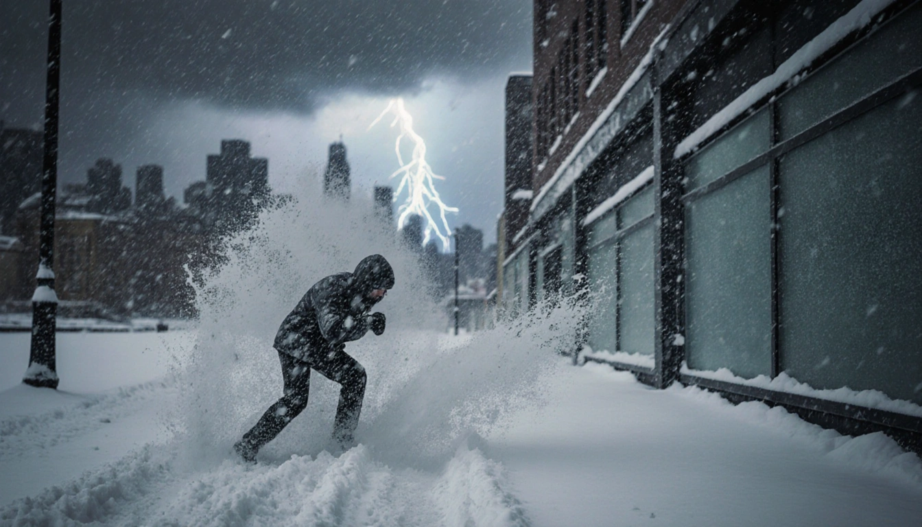
A massive winter storm is sweeping across the United States, delivering heavy snow, ice, rain and gale-force winds to the Midwest and South. The National Weather Service warns of blizzard conditions in the Upper Midwest and record-low wind chills in the northern states.
Storm Overview
The cyclone, described by forecasters as intense, is moving eastward from the Plains, delivering a mix of precipitation and high winds to a wide swath of the country.
Brianna Q. Lockwood said:
> “Part of the storm system is getting heavy snow, other parts of the storm along the cold front are getting higher winds and much colder temperatures as the front passes. They’re all related to each other – different parts of the country will be receiving different effects from this storm.”
Key features of the storm include:
- Heavy snow in the Upper Midwest and Great Lakes
- Gale-force winds across the Midwest and South
- Dangerous wind chills down to -30°F in North Dakota and Minnesota
- Severe thunderstorms and a sharp cold front in the South
Regional Effects
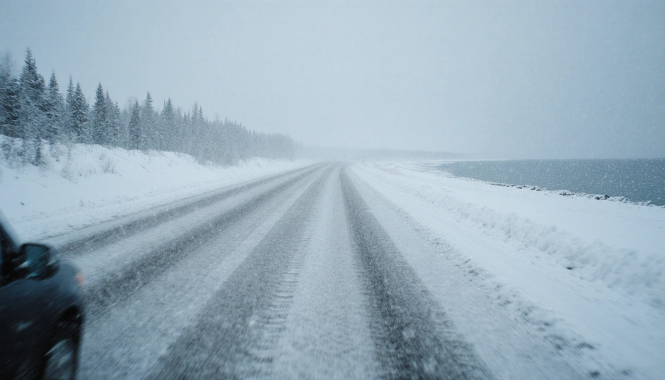
In the Upper Midwest, officials warn of whiteout and possible blizzard conditions that could make travel impossible in some areas. Snowfall totals were expected to exceed a foot (30 cm) across parts of the upper Great Lakes, with up to 2 ft (60 cm) possible along the south shore of Lake Superior.
| Region | Expected Snow | Wave Height | Wind Chill |
|---|---|---|---|
| Upper Midwest | >1 ft | 30 ft (7.6 m) | -30 °F |
| Lake Superior | 2 ft | 25 ft (7.6 m) | -30 °F |
| North Dakota | – | – | -30 °F |
Waves on Lake Superior will likely top 25 ft (7.6 m) by dawn Monday, with towering waves also projected for the other Great Lakes.
Brianna Q. Lockwood said:
> “Since the infamous Edmund Fitzgerald storm in ’75, we’ve had zero major incidents on the lake.”
Southern Front
In the South, a sharp cold front-often called a “Blue Norther”-is expected to bring severe thunderstorms and a sudden drop in temperatures, ending a stretch of record warmth. A cold front will bring rain to much of the South late Sunday night into Monday, bringing much colder weather by Tuesday.
Temperature changes in key cities:
- Atlanta: 72 °F → 25 °F by early Tuesday
- Dallas: lower 80s °F → mid-40s °F
- Little Rock: 70 °F → mid-30s °F
The colder temperatures in the South are expected to persist through New Year’s Day.
Travel and Safety
The storm has already caused thousands of flight delays and cancellations across the Northeast and Great Lakes, and authorities urge caution on roads and at airports. It follows thousands of flight delays and cancellations across the Northeast and Great Lakes regions earlier this weekend due to snow, as thousands took to the roads and airports during the busy travel period between Christmas and New Year’s. Delays and cancellations continued Sunday.
On the other side of the country, California was experiencing a fairly dry weekend after powerful storms battered the state with heavy rains, flash flooding and mudslides.
Key Takeaways
- The storm is delivering heavy snow, ice, rain, and gale-force winds across the Midwest and South.
- Snow totals could exceed a foot in the Great Lakes, while wind chills drop to -30 °F in the north.
- Southern cities will see dramatic temperature drops and severe thunderstorms as a “Blue Norther” hits.
With the storm intensifying as it moves east, residents and travelers should stay updated on forecasts and heed local advisories.