

At a Glance
- SH 130 will go live in weeks, sending real-time crash data to autonomous vehicles.
- TXDOT reports a 30% drop in secondary crashes after pilot.
- Sensors, cameras, and AI will help clear incidents 44 minutes faster.
- Why it matters: It could make Texas highways safer by giving vehicles and authorities instant, actionable data.
Texas Department of Transportation and tech partner Cavnue are about to turn a stretch of State Highway 130 into the nation’s first fully-connected smart corridor. The system will gather real-time data on crashes, debris, and traffic, then relay it to autonomous vehicles and TxDOT for rapid response.
How the Corridor Works
Sensors and cameras line the roadway, collecting data on vehicles, accidents, and debris. The information is transmitted to connected cars like Tesla and Waymo, as well as to state traffic centers.
- Real-time crash detection
- Automatic incident alerts
- Data sent to autonomous vehicles
- AI analysis of crash patterns
Results So Far
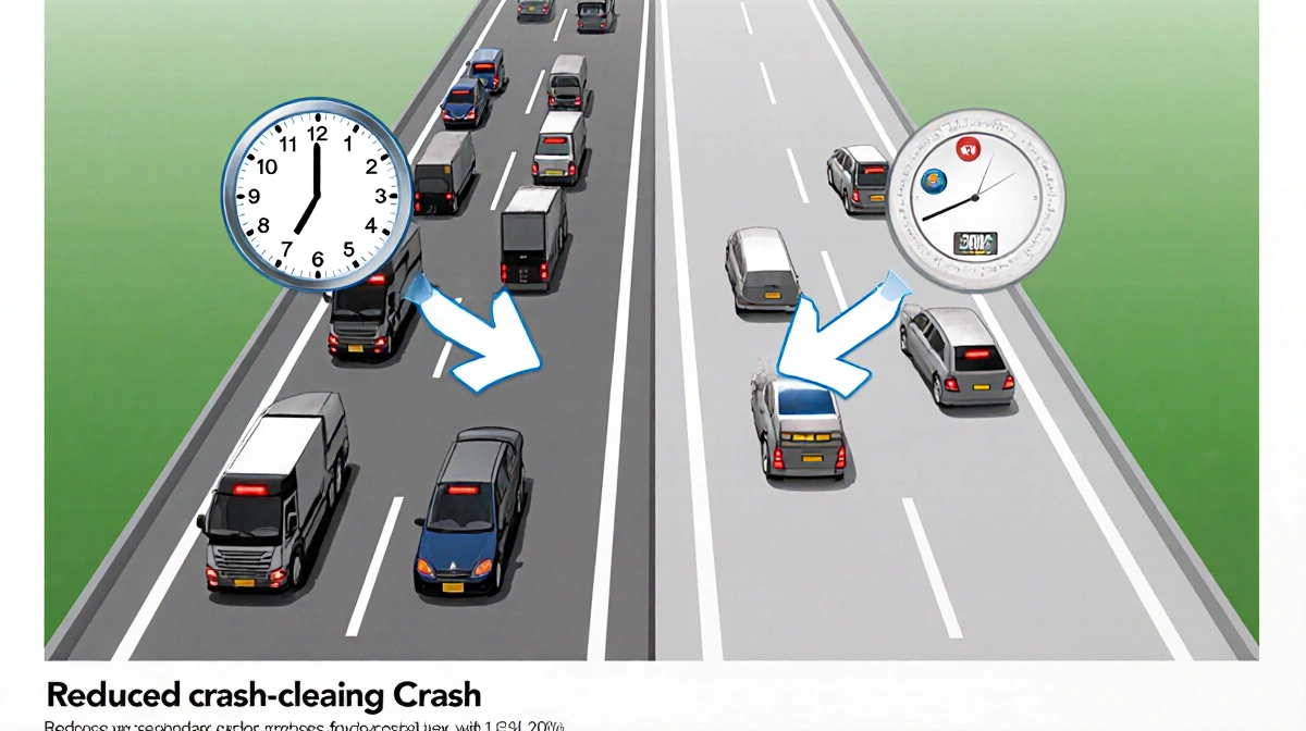
TxDOT says the pilot has already cut crash-clearing time by 44 minutes and reduced secondary crashes by 30%.
Mike Arellano said:
> “We’re starting to clear crashes 44 minutes sooner, and getting back to normal operations 44 minutes sooner. In turn, we’re reducing secondary crashes by 30%.”
Mike Arellano added:
> “The roadway of the future.”
Mike Arellano said:
> “We built the Christmas tree. We plugged it in, but now the vendor comes in and basically decorates, and we’re not responsible for the decorations anymore.”
Mike Arellano added:
> “Connected vehicles can make better decisions way ahead of time, and even optimized routes around those kind of things.”
Mike Arellano said:
> “What we’re learning on 130 is going to definitely inform us on how we’re going to design and deploy its system on I-35.”
Tyler Duvall said:
> “Along SH 130, sensors and cameras will collect real-time data on vehicles, crashes, accidents and debris on the roadway.”
Future Expansion
The first four miles, from SH 45 North to the south, will be tested before the corridor expands to the rest of the highway and eventually to I-35.
Key Takeaways
- SH 130 smart corridor is live, providing instant crash data.
- Pilot cut incident clearance time by 44 minutes and lowered secondary crashes by 30%.
- Learnings will guide rollout to I-35 and beyond.
With the smart corridor now live, Texas is poised to lead the nation in connected roadway technology, potentially saving lives and streamlining traffic across the state.