
At a Glance
- 138 people lost their lives in July flash floods.
- January 2025 was the coldest in 40 years with an average of 46.9°F.
- Central Texas received 25.94 inches of rain in 2025, 9.5 inches below average.
Why it matters: These extremes affected safety, infrastructure, and daily life across Central Texas.
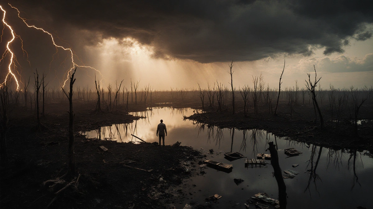
Central Texas endured a year of extreme weather, from bone-chilling winter storms to record-breaking floods that claimed 138 lives. The 2025 season tested the region’s resilience and highlighted the range of hazards the area faces.
Winter’s Fury
January and February brought the coldest temperatures Central Texas had seen in four decades. The January 20-21 winter storm dropped 0.4″ of snow at Camp Mabry, while towns like La Grange and Wimberley received at least an inch. In mid-February, the National Weather Service issued the first ever Extreme Cold Warning as temperatures fell to 18°F, the lowest of the year.
- January average temperature: 46.9°F (5.3°F below normal).
- 0.4″ of snow at Camp Mabry; at least 1″ in La Grange, Lockhart, Taylor, Wimberley.
- Feb 19-20 extreme cold: high 29°F, low 18°F.
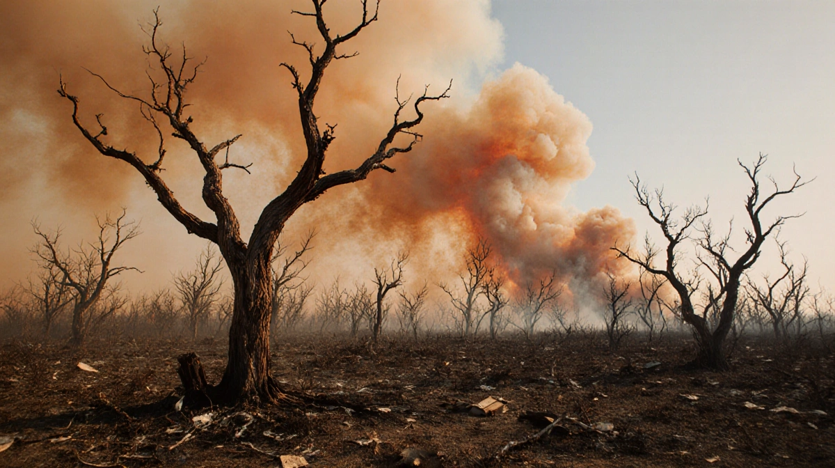
Wildfires & Dust
March was marked by a surge in wildfire activity and a rare dust storm that blanketed Central Texas in haze.
- Onion Creek Fire burned 190 acres in Hays County.
- Crabapple Fire consumed 9,858 acres north of Fredericksburg and destroyed nine homes.
- 43 wildfires burned 11,938 acres across the KXAN viewing area this year.
Dust Storm Warning issued for Mason and San Saba counties, visibility <0.25 mile.
Fredericksburg Fire Chief Lynn Bizzell stated:
> “You hate to lose any structure, and our thoughts are with those that lost property.”
Storms & Tornadoes
Spring storms delivered hail, tornadoes, and a powerful microburst that left widespread damage.
- April 30 hail up to 2.5″ in Taylor.
- May 1 EF-1 tornado hit Burnet County, 110 mph winds, 3.1 mi track.
- May 28 microburst produced 85 mph winds, 2.68″ rain in 15 min, knocked over 72,506 customers.
- May 28 flash flooding claimed one unhoused person in Hancock Creek.
Ryan Murray stated:
> “My main goal was to get them in there quickly and to just stand guard until the last possible second.”
Aaron Snow said:
> “I can’t even describe it. It was the most intense thing ever – like, howling wind. The house was shaking.”
Flash Flood Tragedy
July’s deluge turned Central Texas into a catastrophic flood zone, claiming 138 lives and flooding major rivers.
- >20″ rain in Bertram & Liberty Hill; >18″ near Lago Vista; >17″ Round Rock; >15″ Burnet; >13″ Mason.
- San Saba River crest 34.17′ (~10′ above flood stage).
- Llano River crest 26.49′ (~16′ above flood stage).
- Colorado River crest 41.65′ (~11′ above flood stage).
- Austin received 2.68″ at Camp Mabry on July 5; total July rainfall 6.08″.
| County | Severe Thunderstorm Warnings |
|---|---|
| Burnet | 37 |
| Milam | 31 |
| San Saba | 31 |
| Travis | 24 |
These storms contributed to 100 Flash Flood Warnings issued across the KXAN viewing area, a jump from 24 in 2024.
Key Takeaways
- 138 deaths from July floods highlight the region’s flood vulnerability.
- January’s record cold and March’s wildfires show the full spectrum of Central Texas extremes.
- Severe storms in spring and summer caused widespread power loss and property damage.
The 2025 weather saga underscores how Central Texas must prepare for a spectrum of extremes, from bone-chilling cold to deadly floods.