

At a Glance
- Weekend warmth with Saturday highs in the 70s-80s and a record 82° at Camp Mabry.
- Sunday sees near-record highs 70s-80s and a 83° record set in 2016.
- A strong cold front Sunday evening brings 10-30% rain chance and winds up to 40+ mph overnight.
Why it matters: Residents should prepare for warm weekend weather, then a cold front with possible power outages and gusty winds.
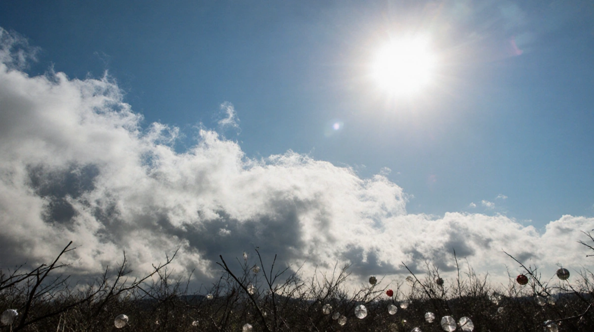
Austin’s weather stays on the warmer side over the weekend, but a cold front is set to arrive Sunday evening, bringing a brief rain chance and gusty winds that could affect power lines.
Saturday Outlook
Saturday’s temperatures will reach the 70s-80s, with Camp Mabry tying the current record high of 82°. Tonight, temperatures will drop into the 60s as clouds increase and southerly winds pick up. The normal low for the evening is 42°.
Sunday Forecast
Morning clouds clear to mostly sunny skies, and highs will approach the 70s-80s. The current record high for Sunday is 83°, set in 2016. A strong cold front arrives Sunday evening, offering a 10-30% chance of rain between 7-11 p.m. Winds will gust up to 40+ mph overnight into Monday, and isolated power outages are possible-secure loose decorations.
Monday Outlook
Monday will bring chilly conditions with wind chills in the 30s-40s and highs in the 40s- low 50s.
Tuesday-Wednesday Outlook
Freezing low temperatures are possible in parts of Central Texas on Tuesday and Wednesday mornings, but temperatures should return to seasonal levels by mid-week.
| Day | High Range | Record |
|---|---|---|
| Saturday | 70s-80s | 82° (Camp Mabry) |
| Sunday | 70s-80s | 83° (2016) |
Winter Weather Outlook 2025
Key Takeaways
- Austin enjoys a warm weekend with highs in the 70s-80s and record temperatures.
- A cold front Sunday evening brings a rain chance and gusty winds up to 40+ mph.
- Chilly Monday and potential freezing lows on Tuesday-Wednesday.
Residents should stay updated and secure outdoor items as the cold front moves in.