
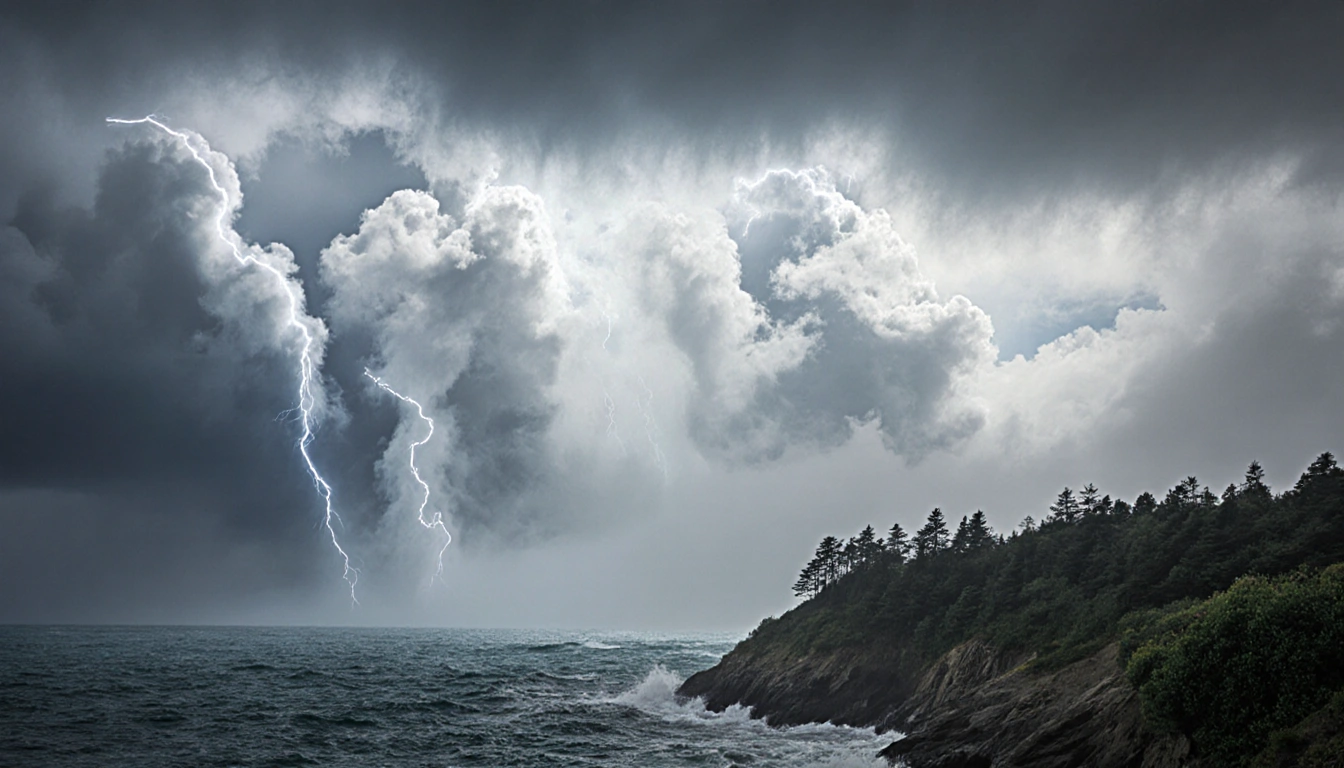
When a colossal plume of moisture crosses the Pacific, it can turn a calm afternoon into a torrent, a quiet valley into a flood zone, and a snowpack into a shrinking reservoir. These dramatic shifts are caused by atmospheric rivers, long strands of moist air that can carry more water than a thousand rivers combined. Scientists call them the wet powerhouses of the atmosphere because they can dump heavy rains or snow over land with astonishing intensity. Understanding how they form, move, and affect the West Coast is essential for predicting floods, managing water supplies, and preparing communities.
Atmospheric rivers are defined as massive plumes of moisture that can dump heavy rains or snow over land. They are not weather fronts in the traditional sense; instead, they are long, narrow bands of vapor that travel across the globe. NOAA describes them as the atmosphere’s equivalent of a river, but made of water vapor instead of liquid water. Their sheer volume can rival that of major river systems.
The genesis of these plumes begins in tropical regions, where warm temperatures cause water vapor to rise into the atmosphere, according to the National Oceanic and Atmospheric Administration. Once the vapor is aloft, winds carry it toward northern and southern latitudes. The transport process is driven by large-scale circulation patterns that steer the moisture across oceans. As the vapor moves, it remains concentrated in a narrow corridor.
Atmospheric rivers occur worldwide, but they are especially significant on the West Coast of the United States. NOAA reports that they create 30% to 50% of annual precipitation there. This water is vital for California’s water supplies, yet the same rivers can trigger storms that produce flooding and mudslides. The dual nature of these systems makes them a critical focus for climate scientists and water managers alike.
Formed by winds associated with cyclones, atmospheric rivers typically range from 250 miles to 375 miles (400 to 600 kilometers) in width. They move under the influence of other weather systems, which can amplify or dampen their impact. The cyclonic winds help maintain the coherence of the moisture band as it travels across the ocean. This width is comparable to the distance between major cities, underscoring their expansive reach.
Many atmospheric river events are weak and cause only modest precipitation. However, the powerful ones can transport extraordinary amounts of moisture. Studies have shown they can carry seven to 15 times the average amount of water discharged daily by the Mississippi River, according to the U.S. Geological Survey. Such capacity explains why a single event can overwhelm drainage systems and saturate soils.
The comparison to the Mississippi River highlights the sheer scale of these moisture plumes. The Mississippi discharges an average daily volume that is a benchmark for riverine flow. When an atmospheric river delivers seven to fifteen times that amount, the resulting rainfall or snowfall can be catastrophic. This metric underscores the importance of monitoring these events.
They’re also getting bigger, wetter, and more frequent as Earth’s atmosphere warms, according to a 2025 study. The study indicates that the increased moisture capacity of a warmer atmosphere fuels larger and more intense atmospheric rivers. The trend suggests that future events could bring even higher volumes of precipitation. This finding has implications for flood risk and water resource planning.

When an atmospheric river reaches land, the moisture-laden air moves over mountain ranges such as the Sierra Nevada along the California-Nevada line. The water vapor rises and cools, becoming heavy precipitation that falls as rain or snow, according to NOAA. The orographic lift forces the vapor to condense, releasing its stored energy. This process is why mountainous regions often see the heaviest rainfall.
While traditional cold winter storms out of the north Pacific build the Sierra snowpack, atmospheric rivers tend to be warm. Snow may still fall at the highest elevations, but rain usually falls on the snowpack at lower elevations. That can quickly prompt melting, runoff, and flooding, and decrease the snowpack needed for California’s water supply. The resulting meltwater can strain reservoirs and alter seasonal flow patterns.
The term pineapple express refers to a strong atmospheric river that originates in the tropical Pacific near Hawaii. This nickname reflects the hot, tropical source of the moisture and the strong winds that deliver it to the West Coast. Pineapple express events are often associated with intense rainfall and significant flooding. They are a prominent example of atmospheric river activity.
The name atmospheric river came from research published in the 1990s by scientists Yong Zhu and Reginald E. Newell of the Massachusetts Institute of Technology. Their work identified these long, narrow bands of moisture and coined the term. Atmospheric rivers are often abbreviated as ARs in scientific literature. This terminology has since become standard in meteorology.
Key Takeaways
- Atmospheric rivers supply 30% to 50% of West Coast precipitation but can also cause flooding and mudslides.
- Powerful events can deliver 7-15 times the daily discharge of the Mississippi River.
- A 2025 study shows they are becoming larger, wetter, and more frequent with a warming climate.
In short, atmospheric rivers are a double-edged sword: they are a lifeline for water supplies yet a source of destructive weather. Their size, strength, and frequency are tied to global climate patterns, making them a key area of research for scientists and planners. As the climate continues to warm, the importance of understanding and preparing for these powerful moisture plumes will only grow.