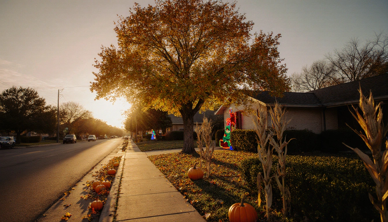
As the last day of autumn rolls into Austin, the forecast promises a warm, sunny finish, a sudden cold front, and a clear outlook for the holiday season.
Final Day of Autumn

Warm south to southwest winds will gust during the late morning and early to mid-afternoon hours up to 20 to 25 mph, with a few locations up to 30 mph. The gusts should decrease by the time the sun goes down at 5:34. These winds will push warm air across the region, raising temperatures. Residents may feel a noticeable breeze during the afternoon. The combination of warmth and wind will keep the sky partly cloudy early before clearing.
The day will begin with partly cloudy skies, but by late afternoon the forecast calls for mostly sunny conditions. High temperatures will be significantly warmer than the long-term average for this time of year. The warmth is expected to linger until sunset, providing a pleasant backdrop for evening activities. The clear skies will also improve visibility for outdoor travelers. This contrast between cloud cover and sunshine is typical of a warm autumn finale.
Cold Front Arrival
A cold front will move in from the northwest early Sunday morning. It should arrive after midnight in San Saba and Lampasas counties, then move south of Austin by 4 to 5 a.m. The front will bring a noticeable shift in wind direction and temperature. Residents in the affected counties will experience a drop in temperature and a change from warm south winds to cooler north winds. The timing of the front is crucial for planning morning activities.
The front will clear out of Fayette County between 8 and 9 a.m. After the front passes, the wind will shift from northwest to north, bringing a cooler, north wind of 5 to 15 mph. This wind change will also affect cloud cover, as clouds move with the shifting air mass. The cooler wind will reduce the warmth that has dominated the morning. However, the wind will remain light enough to avoid gusty conditions. The transition will mark the start of a cooler day.
Winter Solstice
This transition marks the beginning of a mild start to winter, with the winter solstice occurring at 9:03 a.m. on Sunday. The solstice means shorter days for the northern hemisphere and longer days for the southern hemisphere. The solstice is a celestial event that signals the turning point of the year. While the temperature remains mild, the day will be slightly shorter than usual. The solstice is often celebrated by locals with seasonal events.
Weekend Outlook
Throughout the week, a south wind will prevail, leading to higher dew points and humidity. The warm, humid conditions will persist even as temperatures gradually fall. The south wind will bring moisture from the Gulf, increasing the likelihood of cloud formation. Residents may notice a damp feeling in the air, especially in the early morning. The humidity will also affect comfort levels, making it feel warmer than the actual temperature.
Christmas Day Forecast
The forecast for Christmas Day calls for a mostly cloudy sky in the morning with lows ranging from the mid-50s to the low 60s. Slow clearing will end with a partly cloudy sky in the afternoon, and highs will reach the mid to upper 70s. The clouds will gradually lift as the day progresses, allowing more sunshine in the late hours. The temperature range will be mild, suitable for outdoor holiday gatherings. The forecast suggests a pleasant day for families.
Next Week Rain Outlook
For the next seven days, the area will experience a dry spell with no rain expected. Rain chances may return by the 28th as an upper-level low moves into the southwest U.S. This dry period will allow for uninterrupted outdoor plans. The absence of precipitation will also reduce the risk of flooding. However, the upcoming low could bring brief showers later in the month.
How to Stay Updated
Weather enthusiasts can stay informed by downloading the KXAN First Warning Weather app, subscribing to newsletters, or logging into the KXAN+ smart TV app for a custom forecast page. These tools provide real-time alerts and detailed weather information. Users can set preferences for specific alerts such as wind speed or temperature thresholds. The apps also offer historical data for comparison. Staying updated helps residents prepare for changing conditions.
Social Media Updates
Follow the KXAN First Warning Weather team on Facebook, Twitter, and Instagram for real-time updates. Meteorologists also share livestreams and behind-the-scenes glimpses through their individual accounts. The social media channels provide visual updates and interactive maps. Viewers can ask questions during livestreams for immediate answers. The team’s presence online ensures broad accessibility to weather information.
Key Takeaways
- Warm, sunny autumn finale with highs well above normal.
- A swift cold front brings cooler temperatures and a north wind early Sunday.
- No rain expected for the next seven days, with potential showers by the 28th.
Closing
Austin residents can enjoy a warm, sunny autumn finale, brace for a swift cold front, and look forward to a bright Christmas Day, all while staying updated on the latest weather developments. The forecast provides a clear picture of what to expect for the upcoming week and beyond. By following local weather channels and apps, residents can plan safely and comfortably. The combination of warmth, wind, and clear skies makes this period unique for the region. Stay informed, stay prepared, and enjoy the season.


