

At a Glance
- 2026 starts in Central Texas with record-high temperatures, smashing Friday’s record.
- Rain has been almost nonexistent, deepening a severe drought.
- A changing jet stream could bring several days of rain in mid-January.
- Why it matters: Texans face extreme heat now and may finally get much-needed rain.
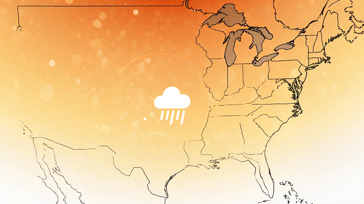
Central Texas is stepping into 2026 with scorching temperatures that have broken records on Friday, while the region’s severe drought worsens due to almost no rainfall. A shift in the jet stream pattern could bring relief by delivering several days of showers and thunderstorms in mid-January. Reported by News Of Austin.
Current Heatwave and Drought
Friday’s high temperatures set new records for the month, reflecting a trend that has seen 13 of the last 15 days of December exceed normal highs. Upper-level high pressure ridging has trapped heat and kept arctic cold fronts out of the area. The jet stream remains well north, preventing large rain-making systems from arriving.
Key factors contributing to the heat:
- Upper-level high pressure ridging
- Jet stream north of Texas
- Limited arctic front activity
Potential Rainfall Outlook
A weak La Niña winter usually keeps temperatures slightly above normal and reduces rainfall, but the latest pattern change suggests several opportunities for rain in mid-to-late January.
| Location | Date | Rainfall |
|---|---|---|
| Camp Mabry | Dec. 18, 2025 | 0.01 in |
The Climate Prediction Center forecasts higher confidence for above-normal temperatures into the second week of the new year, while the jet stream is expected to dive across the Four Corners, bringing cooler temperatures and moisture to the west.
Key Takeaways
- 2026 in Central Texas starts hotter than normal.
- Drought deepens with almost no rain.
- Jet stream shift may bring several days of rain in mid-January.
As temperatures rise, Texans can look forward to potential relief from the drought, but the heat remains a pressing concern.