

At a Glance
- Intense cyclone hits Midwest with heavy snow, blizzard, 25-ft waves on Lake Superior
- Southern states face sudden cold front, rain, and wind chills down to -30 °F
- Storm will bring freezing rain to New England, thunderstorms to the East, and widespread strong winds
- Why it matters: Travelers, mariners, and residents must prepare for hazardous conditions and possible travel disruptions
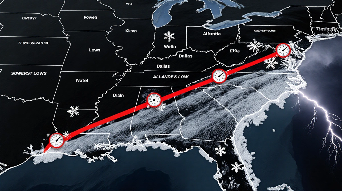
A powerful winter storm is sweeping east, bringing blizzard-grade snow to the Upper Midwest, towering waves to the Great Lakes, and a sudden cold front that will slash temperatures across the South.
Midwest Blizzard and Lake Waves
The National Weather Service warned of whiteout and possible blizzard conditions that could make travel impossible in parts of the Upper Midwest. Snowfall totals were expected to exceed a foot (30 cm) across parts of the upper Great Lakes, with up to 2 ft (60 cm) possible along the south shore of Lake Superior. Waves on Lake Superior will likely top 25 ft (7.6 m) by dawn Monday, with towering waves also projected for the other Great Lakes.
Bob Oravec said:
> “Part of the storm system is getting heavy snow, other parts of the storm along the cold front are getting higher winds and much colder temperatures as the front passes. They’re all related to each other – different parts of the country will be receiving different effects from this storm.”
Ben Warren noted:
> “Since the infamous Edmund Fitzgerald storm in ’75, we’ve had zero major incidents on the lake. Forecasts have improved substantially since 29 people perished when the Edmund Fitzgerald iron ore freighter was swallowed by Lake Superior on Nov. 10, 1975.”
- Snow over a foot across the upper Great Lakes
- Waves up to 25 ft on Lake Superior
- Wind chills as low as -30 °F in North Dakota and Minnesota
Southern Cold Front and Record Heat Drop
Meteorologists warned of severe thunderstorms in the South, signaling a sharp cold front that will bring a sudden plunge in temperatures and strong north winds. The abrupt change will drop the low temperature in Atlanta to 25 °F by early Tuesday morning, and colder temperatures will persist through New Year’s Day. In Dallas, Sunday temperatures in the lower 80s could drop to the mid-40s. In Little Rock, highs around 70 °F on Sunday could fall to mid-30s on Monday.
| Location | Sunday High | Tuesday Low |
|---|---|---|
| Atlanta | 72 °F | 25 °F |
| Dallas | lower 80s | mid-40s |
| Little Rock | 70 °F | mid-30s |
The storm will also bring freezing rain to New England and thunderstorms across the eastern U.S. and South.
Key Takeaways
- Intense cyclone brings blizzard-grade snow to the Upper Midwest, 25-ft waves on Lake Superior, and a sudden cold front slashing Southern temperatures.
- Wind chills as low as -30 °F and severe thunderstorms threaten travel and safety.
- Record heat in the South will be replaced by a sharp temperature drop, affecting daily life.
A day of travel disruptions and hazardous weather continues as the cyclone moves eastward, reminding residents to stay alert and prepare.