

At a Glance
- The National Weather Service warns of a possible bomb cyclone that could bring heavy snow and strong winds to the East Coast.
- Over 550,000 residents remain without power from last week’s storm, and outages could last days if the new system hits.
- At least 30 people have died from severe cold this week, and temperatures are expected to stay below zero for the next 2 weeks.
Why it matters: A rapid-intensifying storm could compound power outages, endanger lives, and disrupt travel across the eastern United States.
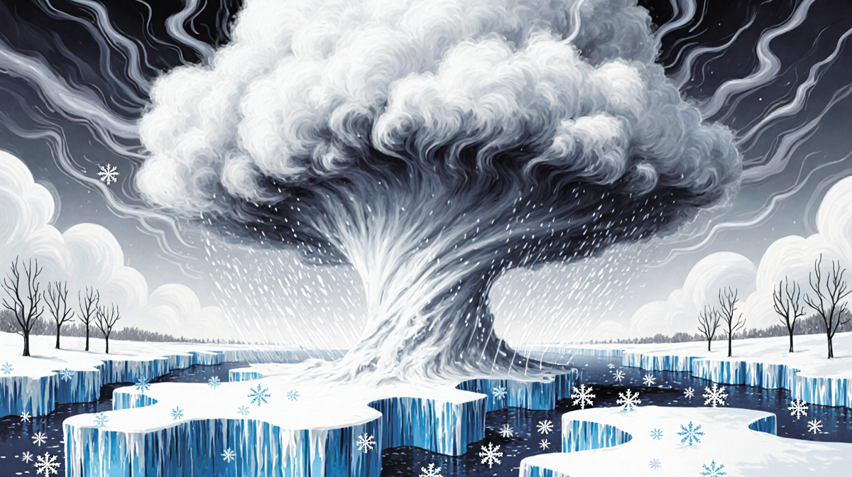
The latest forecast from the National Weather Service (NWS) signals a potential new winter storm that may intensify into a bomb cyclone this weekend. The term refers to a storm that drops at least 24 millibars of pressure in 24 hours, a rate of change that can produce hurricane-force winds and heavy snowfall. The NWS notes that a strong low-pressure system is expected to form off the Southeast Coast on Saturday and move toward the Mid-Atlantic by Sunday.
Forecast Details
The NWS statement, released early Tuesday morning, highlights several key points:
- Very cold temperatures will blanket the eastern half of the U.S. into next week.
- A surface low-pressure system is expected to develop rapidly and interact with the cold air mass.
- This interaction should result in widespread heavy precipitation.
The European Centre for Medium-Range Weather Forecasts (ECMWF) model suggests that the system could intensify faster than the minimum threshold for bombogenesis, at a rate of 180% faster than the standard rate. Meteorologist Ben Noll, reporting for the Washington Post, explained that the model simulates a storm stronger than a “double bomb.”
A tweet from forecaster Ryan Maue on January 27, 2026 captured the growing concern:
“Increasing confidence in an obscenely large and powerful bomb cyclone blizzard spinning off the U.S. East Coast this weekend. Uncertainty remaining: Formation location + track to determine coastal snowfall impacts. No snowfall maps need apply until Tuesday evening.”
Potential Impacts
If the storm makes landfall, it could worsen the already dangerous situation in several ways:
- Power outages may extend, leaving many without heat for days.
- Gusty winds could push wind chills well below zero, raising the risk of hypothermia, frostbite, and frozen pipes.
- At least 30 deaths have already occurred in states contending with severe cold.
The NWS acknowledges that the storm’s track and strength are still uncertain. The final outcome will depend on how close the system approaches the eastern seaboard. Even if it does not intensify into a bomb cyclone, the East Coast could still receive a few more inches of snow.
Unlike last weekend’s storm, which produced both heavy snow and ice, this one is expected to be all snow due to the preexisting cold air. The polar vortex, normally a tight circulation of cold air over the North Pole, is currently distorted, allowing Arctic air to spill southward into North America. According to Judah Cohen, an MIT climatologist who tracks polar vortex activity, more Arctic blasts are on the way.
What Residents Should Do
- Stay informed by monitoring local forecasts and official updates.
- Prepare for power loss by keeping batteries charged and having backup heat sources.
- Avoid unnecessary travel until conditions improve.
- Check on vulnerable neighbors, especially the elderly or those with medical conditions.
The NWS emphasizes that the extreme cold will remain for at least 2 weeks. Residents in the southeastern states, where many rely on electricity for heating, face the highest risk.
Key Takeaways
| Item | Detail |
|---|---|
| Storm type | Potential bomb cyclone |
| Power outages | 550,000 East Coasters still without power |
| Fatalities | At least 30 deaths from cold this week |
| Forecast uncertainty | Track and strength still unknown |
| Duration of cold | At least 2 weeks of below-zero temperatures |
The combination of a possible bomb cyclone, ongoing power outages, and persistent extreme cold creates a high-risk environment for the East Coast. Residents and officials should remain vigilant as the system develops over the next few days.
Final Thoughts
The NWS and other forecasters are monitoring the storm’s development closely. While the exact impact remains uncertain, the potential for a rapid-intensifying winter storm underscores the need for preparedness and community support during this challenging period.