
At a Glance
- A 2,000-mile winter storm will blanket snow, ice and deadly cold across the U.S. this weekend
- Sub-zero temperatures and -50°F wind chills will hit the Northern Plains by Thursday, then sweep east
- Roughly 55% of the contiguous U.S. population will see snow, sleet or freezing rain at the same time Sunday
- Why it matters: Widespread power outages and “life-threatening” travel conditions are forecast; officials urge stocking supplies now
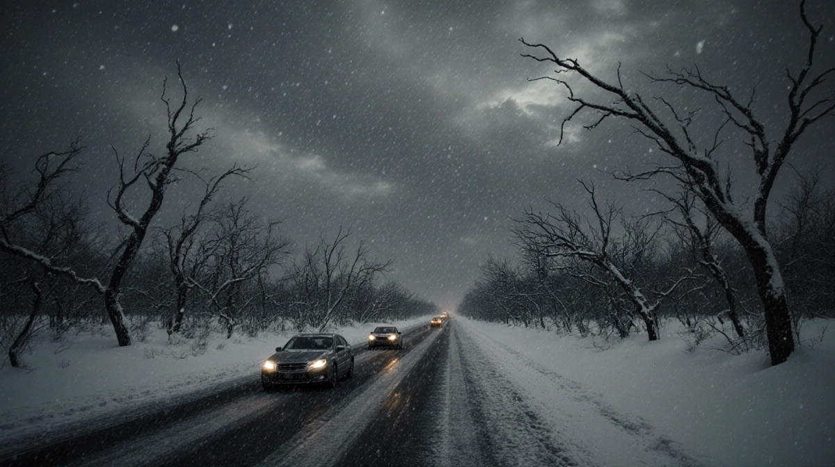
A record-smashing winter storm will roar across the United States this weekend, hurling snow, ice and dangerous cold along a 2,000-mile corridor from the Central-Southern Plains to the East Coast. The National Weather Service warns the blast could become the most extreme winter event of the 2025-2026 season so far.
Arctic Plunge Meets Atmospheric River
The collision begins Wednesday when an Arctic blast spills south, the result of a weakened polar vortex. By Thursday, single-digit and sub-zero readings will grip the Northern Plains, then march into the mid-Mississippi Valley, Ohio Valley and Northeast by Sunday.
Gusty winds will drive wind-chill values below -50°F across the Northern Plains, prompting extreme-cold warnings and watches for the Upper Midwest overnight Wednesday.
Friday, the frigid dome will slam into an atmospheric river-a fire hose of Pacific and Gulf moisture-sparking a sprawling storm. Meteorologist Ben Noll notes the rare overlap of record cold and rich moisture: “Cold plus moisture equals atmospheric fireworks and major weather impacts.”
Timeline and Impact
| Period | Primary Hazard | Key Regions |
|---|---|---|
| Wed-Thu | Life-threatening cold | Northern Plains, Upper Midwest |
| Fri | Storm formation | Central-Southern Plains |
| Sat-Sun | Heavy snow/ice | Plains to East Coast |
| Sun peak | 55% of Americans under wintry precip | Contiguous U.S. |
During Sunday’s peak, forecasters expect:
- Snow, sleet or freezing rain simultaneously across 55% of the contiguous U.S.
- Widespread power outages
- Major travel disruptions, especially along the East Coast
Officials Warn of Underestimated Danger
“I think people are underestimating just how bad it’s going to be,” said meteorologist Ryan Maue, formerly NOAA chief scientist. He projects temperatures below -30°F across the Midwest, Great Lakes and New England over the weekend.
Defense Department meteorologist Eric Webb called the setup “truly legendary” for the Southern U.S., predicting “a ridiculous amount of snow/ice.”
Safety Steps Now
Authorities urge immediate preparation:
- Monitor local forecasts through week’s end
- Stock groceries, water and medications
- Avoid non-essential travel; equip vehicles with blankets, shovels and traction aids if travel is unavoidable
More Wild Weather Possible
Atmospheric scientists say the polar vortex should stay unstable for the next two weeks, meaning this weekend’s siege may preview additional winter extremes before season’s end.