
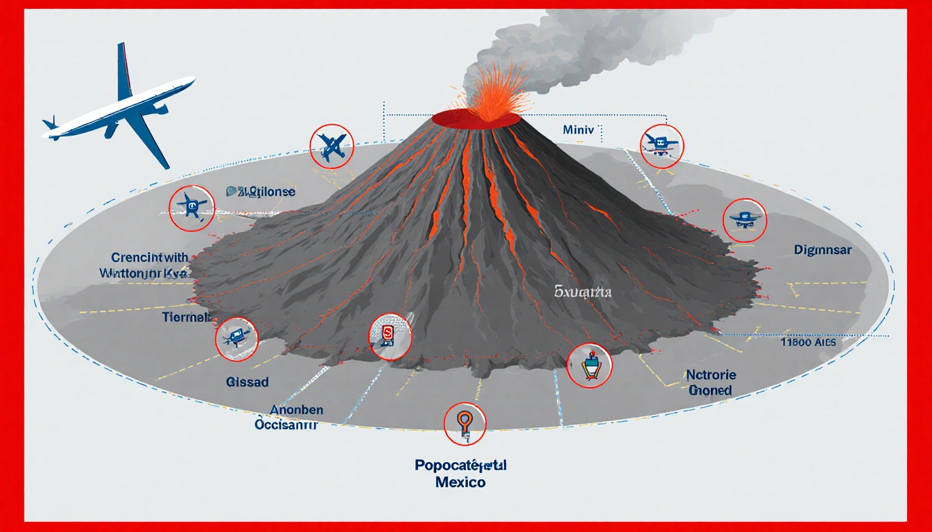
POPOCATÉPETL VOLCANO, Mexico (News Of Austin) –
At a Glance
- First 3-D interior map of Mexico’s 17,883-ft Popocatépetl volcano created.
- 22 seismographs and AI processed 100-Hz seismic data to reveal magma pools.
- The map shows pools up to 11 miles below the crater, aiding eruption forecasts for 25 million residents.
Why it matters: Understanding magma chambers helps authorities protect communities and infrastructure.
In a daring expedition, scientists from Mexico’s National Autonomous University climbed the slope of Popocatépetl, the country’s most active volcano, and produced the first 3-D interior map. The image reveals how magma accumulates beneath the crater, offering clues that could improve eruption warnings for the 25 million people living within 62 miles.
Mapping the Heart of Popocatépetl
The team set up 22 seismographs around the volcano’s perimeter and used artificial intelligence to analyze the 100-Hz seismic data. They produced a 3-D cross-section that reaches 11 miles below the crater, showing multiple magma pools at varying depths. The map indicates that magma accumulates more toward the southeast, a pattern linked to recent tremor activity.
Karina Bernal said:
> “I taught the machine about the different types of tremors there are in El Popo”
- 22 seismographs installed
- 100-Hz seismic data processed by AI
- 11-mile depth cross-section
Why It Matters
The volcano sits within a 62-mile radius that houses 25 million people, including five airports and major cities. By pinpointing magma locations, scientists can improve early-warning systems and inform evacuation plans. The new model also provides a natural laboratory for studying volcanic processes.
| Seismographs | Before | After |
|---|---|---|
| Total | 12 | 22 |
The research will soon be published, and this expedition marks the last climb before the data release. The 3-D map is a milestone that could change how authorities monitor Popocatépetl and protect millions.
Marco Calò said:
> “We have a natural laboratory here”
Karina Rodríguez said:
> “It’s what drives you to start another project and keep climbing”
Key Takeaways
- First 3-D interior map of Popocatépetl reveals magma pools up to 11 miles deep.
- 22 seismographs and AI enabled detailed seismic analysis.
- The map could improve eruption warnings for 25 million residents.
The 3-D imaging marks a breakthrough in volcanic science and offers a powerful tool for safeguarding communities.