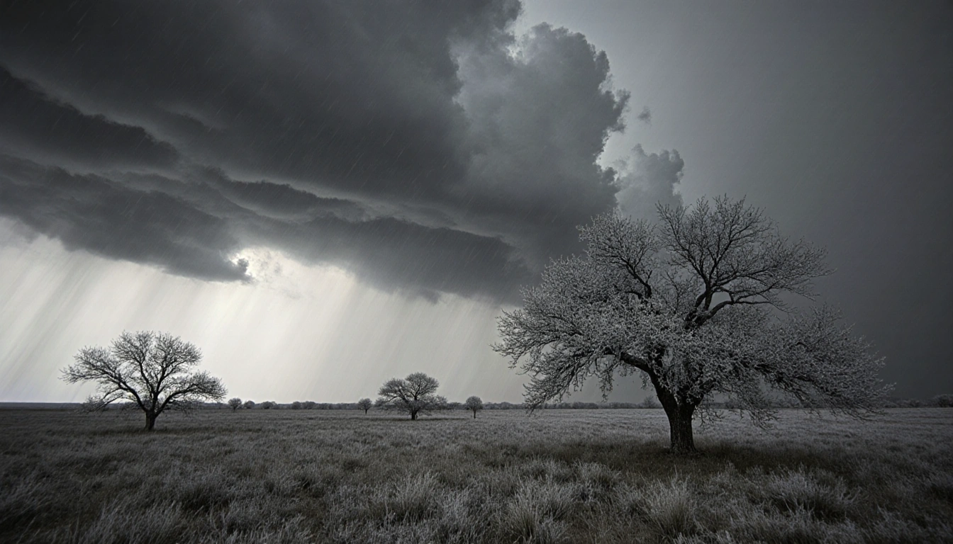
Central Texas enjoys a warm Christmas Day as a cold front looms for New Year’s Eve.
Warm Christmas Day
Morning clouds and fog give way to a partly cloudy to mostly sunny afternoon. Winds will gust up to 15-20 mph. Unseasonably warm air continues into tomorrow and Saturday, with highs in the low 80s. A record-tied 82°F could be reached Saturday, matching the December 27 record set last year.

Cold Front Arrival
A cold front will move into the Texas Panhandle early Saturday morning, race to Central Texas, and arrive in the Hill Country Sunday afternoon. The front is forecast to pass Austin in the evening and leave the area around 10 p.m. Light rain is possible Sunday night to Monday morning, with most totals .05 in. or less. Gusty northwest-to-north winds will drop temperatures to the 30s and 40s by Monday morning, and Monday afternoon highs will stay in the 40s, feeling like 30s with the wind. Tuesday morning lows will be very cold, falling to the mid/upper 20s to low/mid 30s.
New Year’s Eve and New Year’s Day
New Year’s Eve starts cold, with most lows in the low to mid 30s. Highs warm to the upper 50s to low 60s under a partly cloudy sky. New Year’s Day begins mostly sunny, with lows from the mid/upper 30s to 40°F and highs generally ranging from 63°F to 67°F.
Key Takeaways
- Low 80s highs on Christmas and Saturday, possible 82°F tie.
- A cold front brings light rain Sunday night to Monday morning and a drop in temperatures to the 30s/40s.
- New Year’s Eve and Day will be cold with highs in the upper 50s to low 60s and 63-67°F respectively.


